Arthur John Hubbard & George Hubbard, Neolithic Dew-ponds and Cattle-ways

Second edition, Longmans, Green and Co., London, 1907

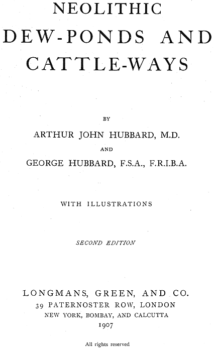
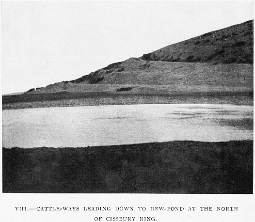
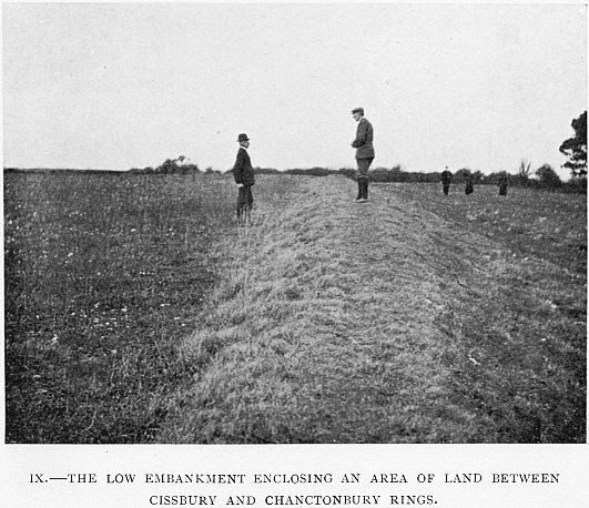
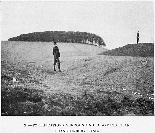
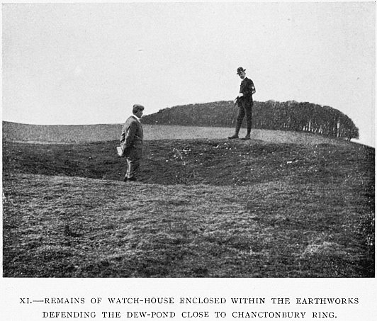
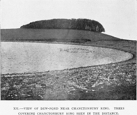
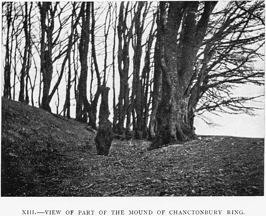
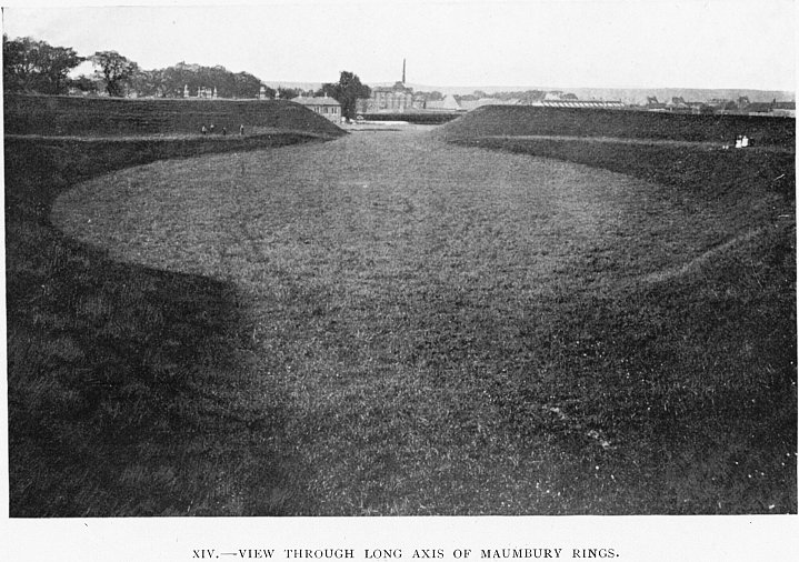
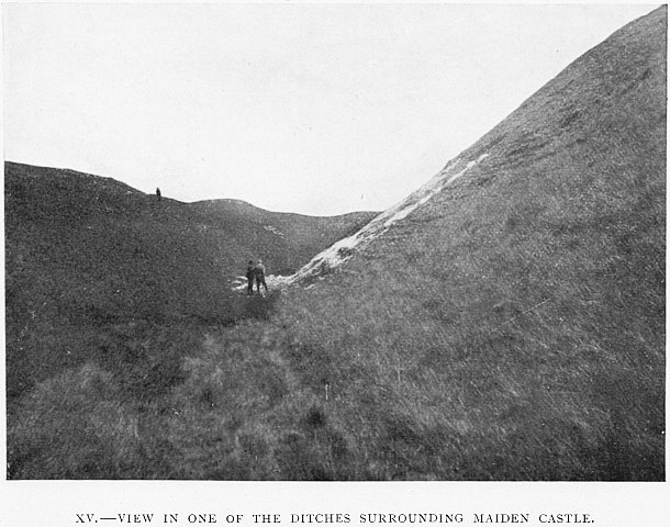
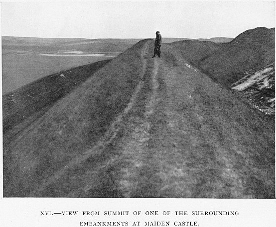
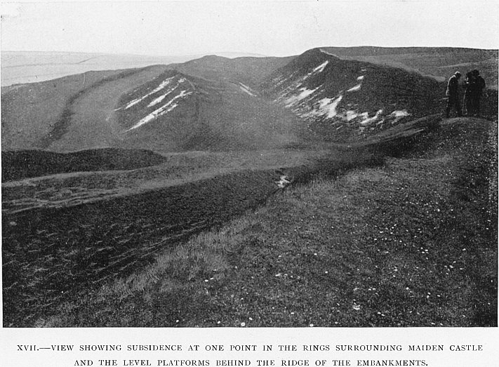
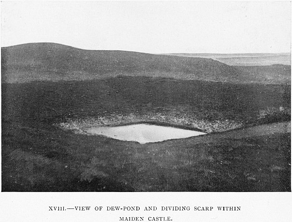
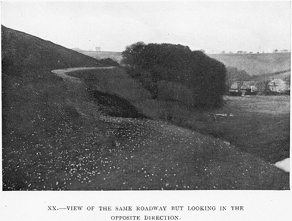
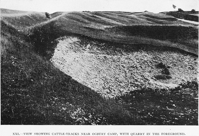
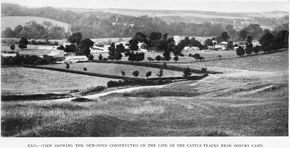
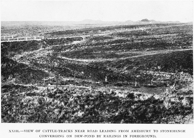
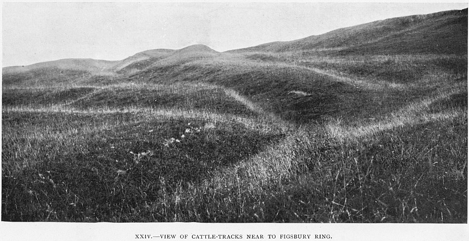
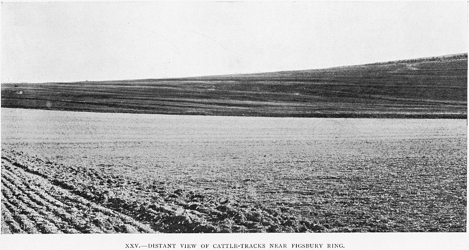
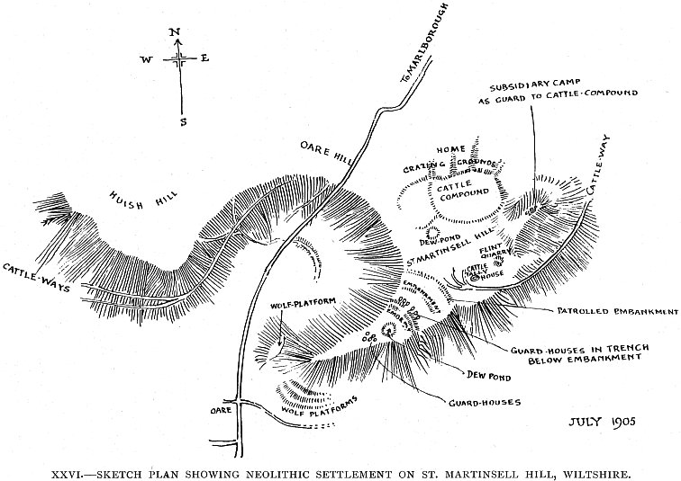
In this book, first published in 1905, the Hubbard brothers explain their theory that many neolithic enclosures were connected with cattle-keeping. They point out especially the need to protect the cattle against wolves. For safety, cattle were not taken down to the rivers but were made to drink at artificial dewponds near the enclosures.

The book was evidently popular, as it went through three editions. This Web version is scanned from the second edition (1907), in which the authors added a chapter on dewpond experiments. The third edition (1916) was merely a reprint of the second.

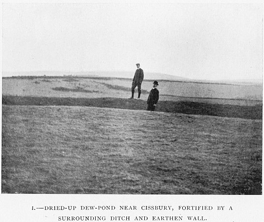
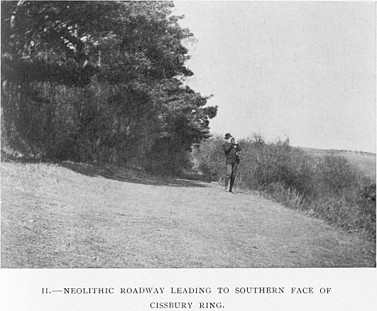
There is more about Dorset dewponds in the paper by Alfred Pope on this website. For information about the Hubbards, see the website by Arthur’s grandson Nick Hubbard. In the photos, Arthur is the one in a dark suit and bowler hat, while George wears a more rural costume.

The digitized version contains the following Web pages:

TEXT
 Preface to the second edition
 Preface to the first edition
 Contents; List of illustrations
I.Cissbury Ring and Chanctonbury Ring
II.Maumbury Rings and Maiden Castle
III.Cattle-tracks
IV.St. Martinsell Hill
V.The Devil’s Dyke, near Brighton
VI.Malvern
VII.Firle
VIII.Willersley Hill
IX.Dew-pond experiments
EXTRA
 Letter from Arthur John Hubbard to a reader (no date)
 Letters to The Times on dewponds (1934)
IMAGES
 Title page
I. Dried-up dew-pond near Cissbury, fortified by a surrounding ditch and earthen wall
II. Neolithic roadway leading to southern face of Cissbury Ring
III. Another view of the same neolithic roadway in the foreground. The terraces on the other side of the valley may be seen from this position
IV. View of inner and outer embankments at Cissbury Ring
V. Depression marking the site of a guard-house just outside the southern entrance to Cissbury Ring
VI. Cleft in the outer ring at Cissbury at a point overlooking the terraces
VII. Eastern entrance to Cissbury Ring showing traces of rectangular guard-houses
VIII. Cattle-ways leading down to dew-pond at the north of Cissbury Ring
IX. The low embankment enclosing an area of land between Cissbury and Chanctonbury Rings
X. Fortifications surrounding dew-pond near Chanctonbury Ring
XI. Remains of watch-house enclosed within the earthworks defending the dew-pond close to Chanctonbury Ring
XII. View of dew-pond near Chanctonbury Ring. Trees covering Chanctonbury Ring seen in the distance
XIII. View of part of the mound of Chanctonbury Ring
XIV. View through long axis of Maumbury Rings
XV. View in one of the ditches surrounding Maiden Castle
XVI. View from summit of one of the surrounding embankments at Maiden Castle
XVII. View showing subsidence at one point in the rings surrounding Maiden Castle and the level platforms behind the ridge of the embankments
XVIII. View of dew-pond and dividing scarp within Maiden Castle
XIX. View of neolithic road leading from Maiden Castle to Poundbury Camp. (Note that the surface is whitened by daisies.)
XX. View of the same roadway as shown in previous illustration but looking in opposite direction
XXI. View showing cattle-tracks near Ogbury Camp, with quarry in the foreground
XXII. View showing the dew-pond constructed on the line of the cattle-tracks near Ogbury Camp
XXIII. View of cattle-tracks near road leading from Amesbury to Stonehenge converging on dew-pond by railings in foreground
XXIV. View of cattle-tracks near to Figsbury Ring
XXV. Distant view of cattle-tracks near Figsbury Ring
XXVI. Sketch plan showing neolithic settlement on St. Martinsell Hill, Wiltshire
XXVII. Sketch of the double ridgeway at Malvern
XXVIII. Plan of the earthworks on downs, near Firle, Sussex
XXIX. Sketch showing débris at bottom of cattle-tracks on Willersey Hill, Worcestershire