{xix}
| PAGE | ||
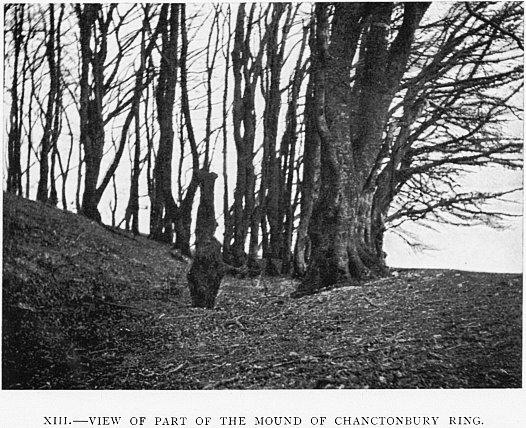
| I. | CISSBURY RING AND CHANCTONBURY RING | 1 |
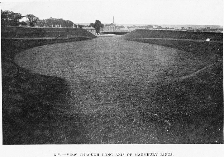
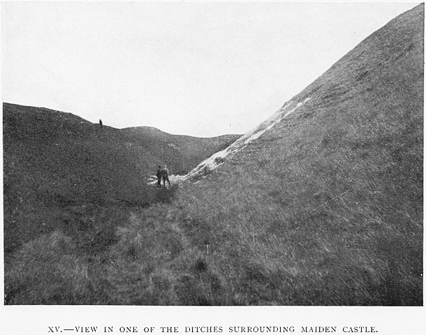
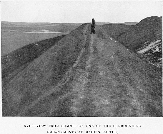
| II. | MAUMBURY RINGS AND MAIDEN CASTLE | 28 |
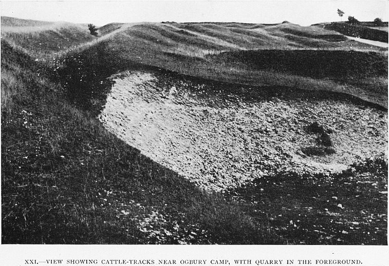
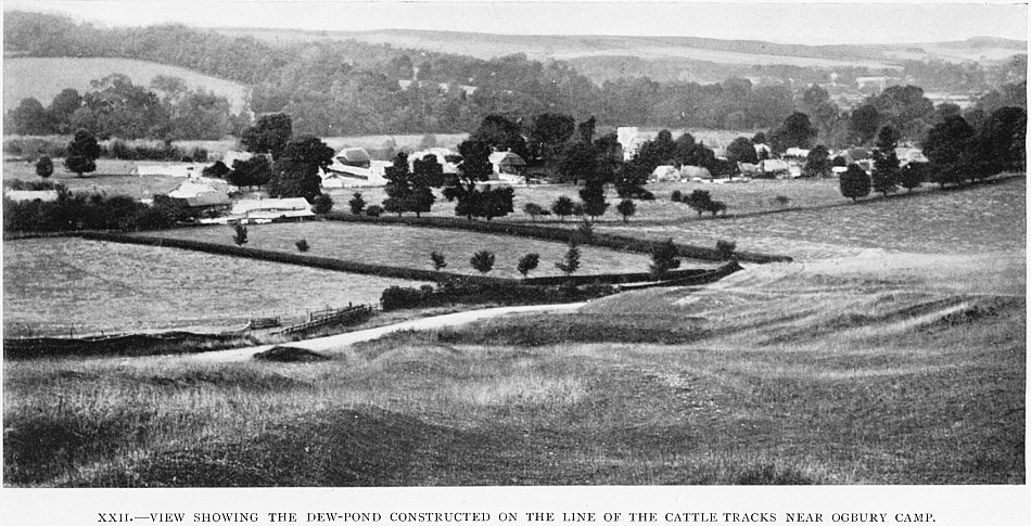
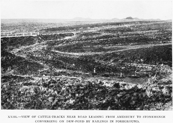
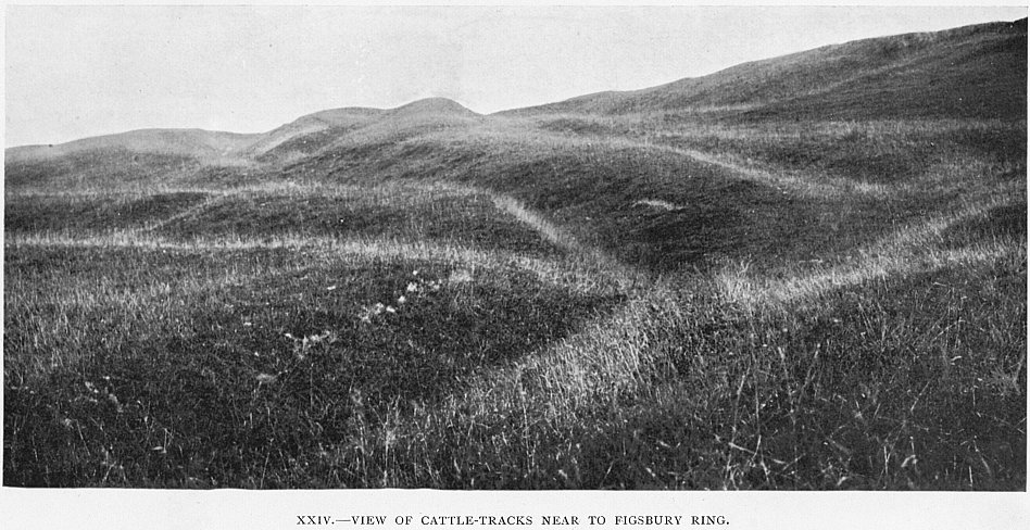
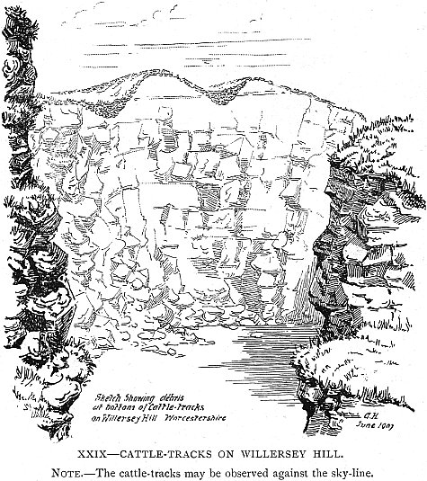
| III. | CATTLE-TRACKS | 51 |
| IV. | ST. MARTINSELL HILL | 72 |
| V. | THE DEVIL’S DYKE, NEAR BRIGHTON | 83 |
| VI. | MALVERN | 87 |
| VII. | FIRLE | 97 |
| VIII. | WILLERSLEY HILL | 104 |
| IX. | DEW-POND EXPERIMENTS | 109 |
{xx}{Blank}
{xxi}
{xxii}
{xxiii}{Blank}