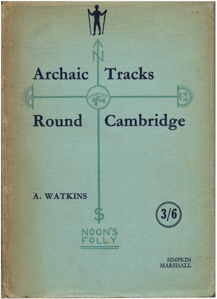
Simpkin Marshall, London, 1932
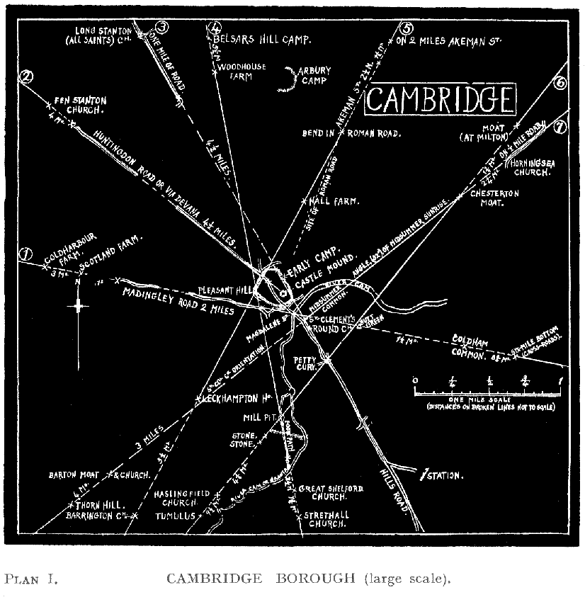
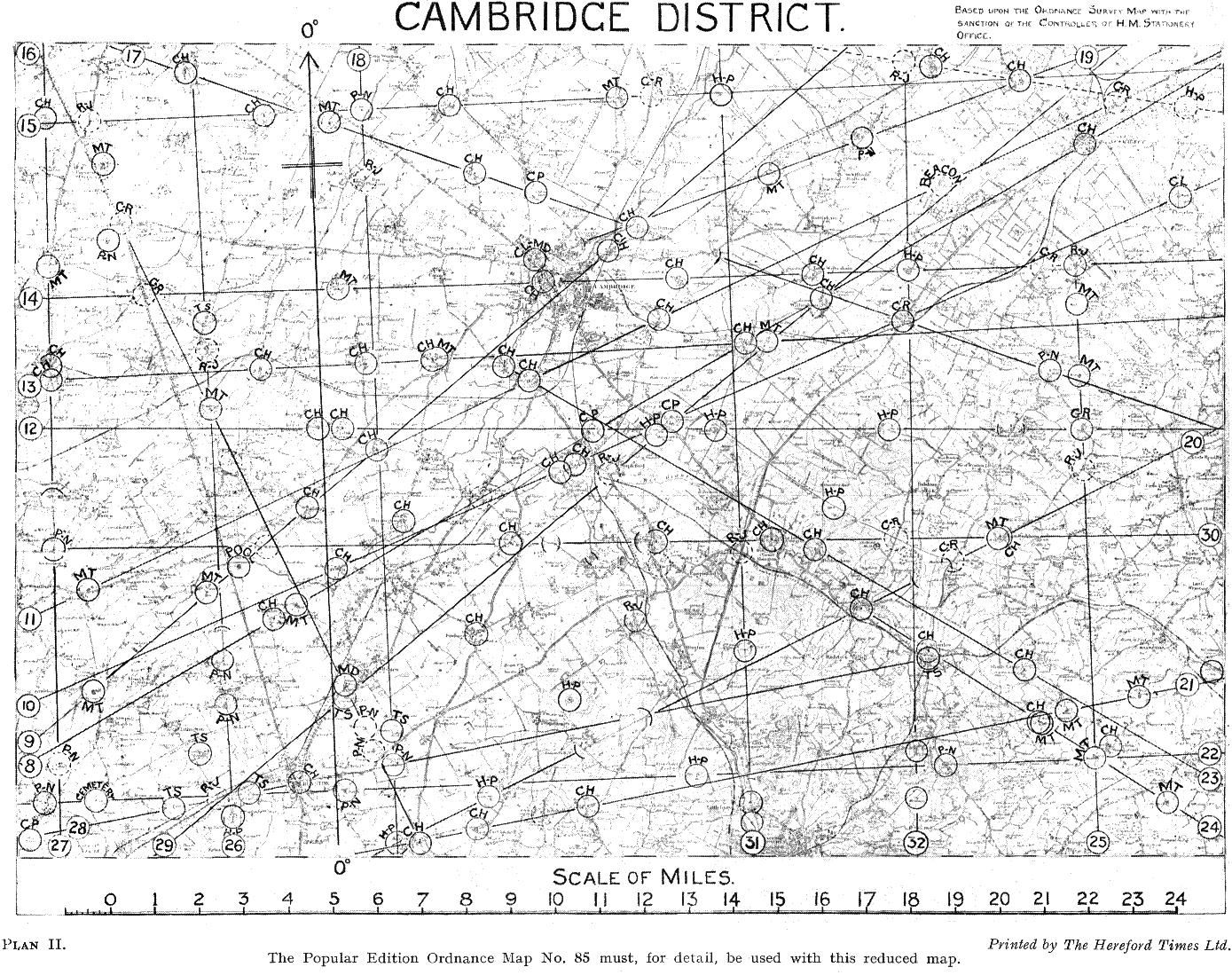
This is Alfred Watkins’s last book, published when he was 77. It was the result of a few days’ visit to his son Allen in Cambridge, and was written in two months. Although Allen Watkins writes that the author “might have lived in the district all his life”, Alfred Watkins admits that this book, unlike his earlier ley books, is based more on mapwork than on local knowledge.
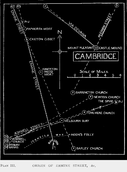
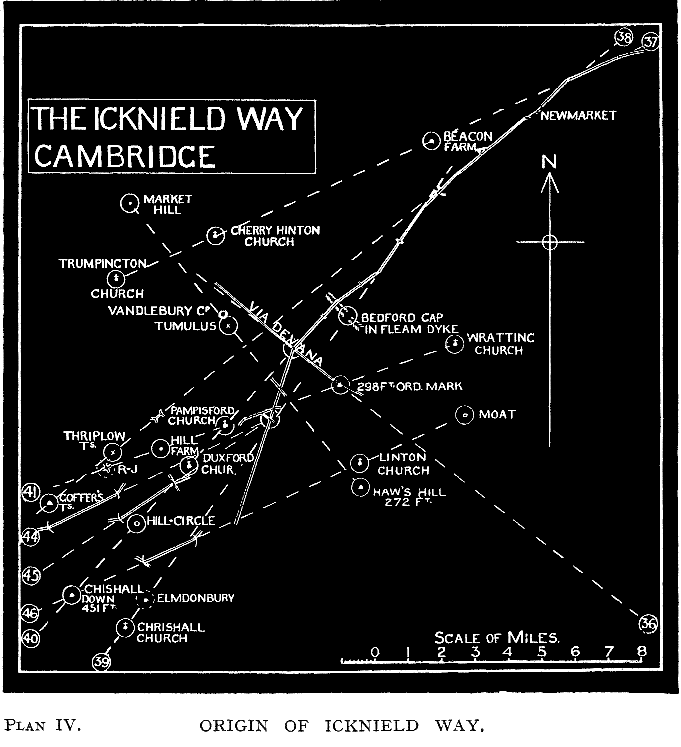
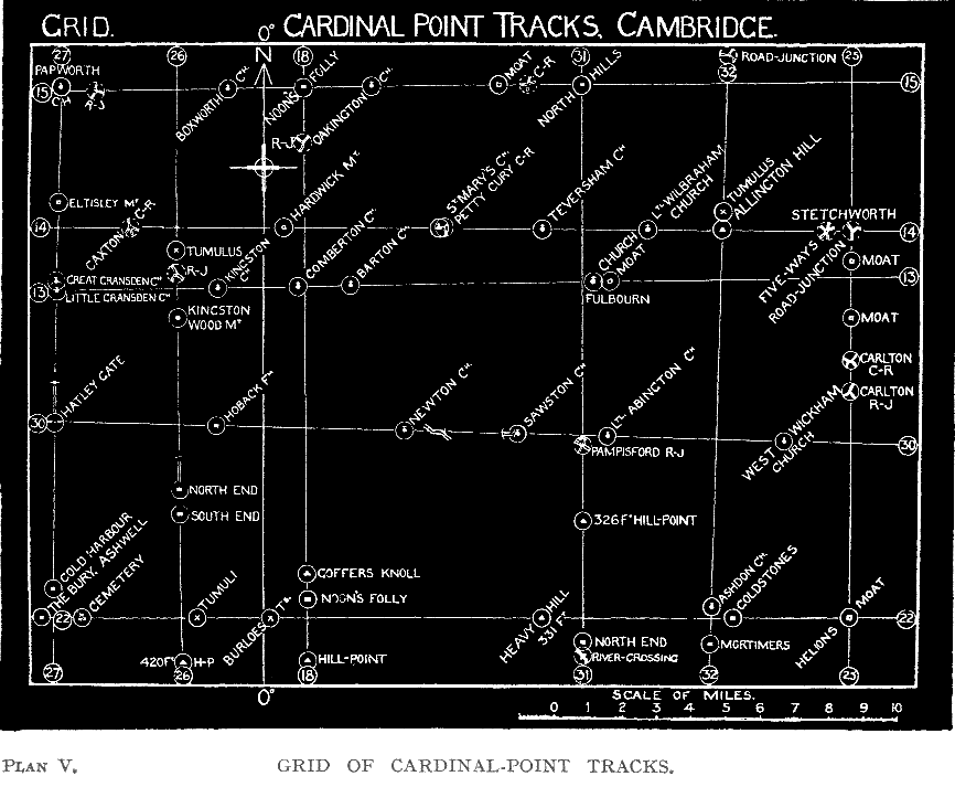
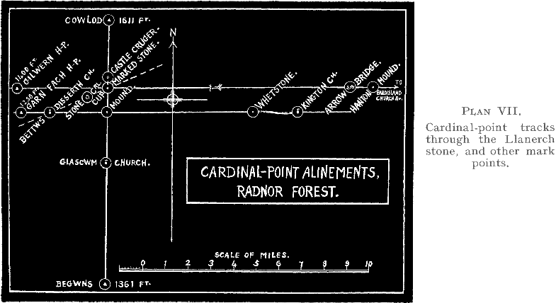
In this book Watkins drops the word “ley”, which he had coined eleven years before, and uses instead “track” or “alinement”.
The digitized version contains the following Web pages:
| EXTRA |
|---|
| Foreword by Paul Screeton (© 1980) |
| Review in The Times Literary Supplement |
| Extract from Alfred Watkins of Hereford by Allen Watkins |
| Charles Graves on alinements of sites in Ireland |